

Juneau, Alaska (KINY) - The weather advisory for wind and rain isn't quite over yet.
Grant Smith, a meteorologist with National Weather Service Juneau, said more wind is coming to Southeast.
"We had that first low that moved through a couple of days ago. It brought some heavy rain and some strong winds to much of the Panhandle. That's moved out and faded out. You probably noticed the much calmer conditions late Saturday, and this morning. But as we go into the later parts of Sunday and into Monday, so today into tomorrow, we've got the next front that's moving through. As of this morning, already seen rain popping up near Prince of Wales Island and the Ketchikan, Sitka area. As that front swings through the Panhandle, it's gonna be bringing in some more strong winds, wind gusts upwards of 30 to 50 miles per hour expected around the Panhandle. Sustained winds in that 15 to 25 miles per hour as that front moves through. Then once the front moves through, the wind should calm down, but the rain will stick around."
Smith added that we might see a break from the wet weather next weekend.
"Looking ahead to the longer term forecast, we are seeing hints of maybe a little bit of a break. Once we get to the weekend, kind of that Friday, into Saturday timeframe, looks like we're going to be going into a pattern change where high pressure will build over Canada, just to our north. That will drive the wind pattern from Canada over to the ocean, we call that offshore. That kind of pattern usually brings in dry weather, sunny weather, and also colder weather. So we'll need to be on the lookout of just how cold we're going to be."
Right now, forecast temperatures are getting down into the 30s with overnight lows in the 20s, but Smith said it could get colder than that.
Check for updates here.
 Biden-Harris Administration announces funding to improve ferry service, better connecting Alaskan communities
 A busy year of waterfront projects ahead in Juneau, says Port Director
 Five members and associates of white supremacist gang sentenced to life in prison for racketeering, kidnapping, and murder
 Anderson named director of UAF Institute of Agriculture, Natural Resources and Extension
 Wade Albright selected as director of Alaska Satellite Facility
 Kodiak man indicted on federal gun and drug charges
 Alaska library board keeps LGBTQ books in youth sections
 Judicial Nominees for Kenai Supreme Court
 DOT&PF Statewide Aviation Employee Rebecca Douglas wins national award from Aviation Pros
 Protecting individuals with dementia from wandering during the winter: tips from the Alzheimer’s Foundation of America
 Murkowski, Sullivan: Tongass is a National Forest, not a political football
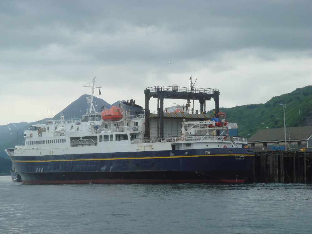
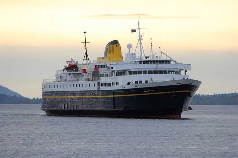 Winter ferry service to begin Feb. 13 for SE Alaska to Bellingham